Welcome to our website!
—
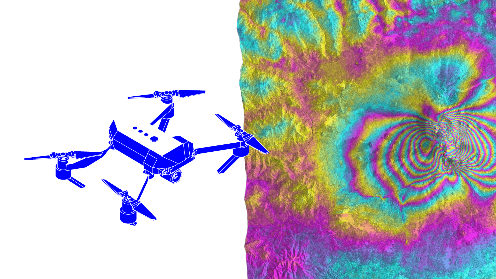
This project, entitled Innovative technologies for monitoring of heritage buildings and infrastructures, intends to further develop two applied technologies that support geometric data acquisition of existing buildings: photogrammetry accomplished with an UAV (uncrewed aerial vehicle) for highly accurate reconstruction, particularly in tall buildings; and interferometric synthetic aperture radar (InSAR) to identify kinematic mechanisms of the constructions, specifically deformation measurements.
It is funded by the Fund for Bilateral Relations from EEA Grants, as a partnership between Lusófona University (Portuguese promoter) and Norwegian Geotechnical Institute (partner from Norway).
A group of different activities is planned, such as:
- the application of the developed technologies to a pair of real case studies;
- a workshop at Lusófona University;
- a visit to NGI, involving some meetings and a lecture;
- writing and submission of joint papers (at conferences as well as at a journal).
News
October 2022
The project entitled Innovative technologies for monitoring of heritage buildings and infrastructures, intends to further develop two applied technologies that support geometric data acquisition for existing buildings: 1) photogrammetry accomplished with an uncrewed aerial vehicle (UAV) for highly accurate reconstruction, particularly in tall buildings; and 2) satellite-based interferometric synthetic aperture radar (InSAR) to identify kinematic mechanisms of the constructions, specifically deformation measurements.
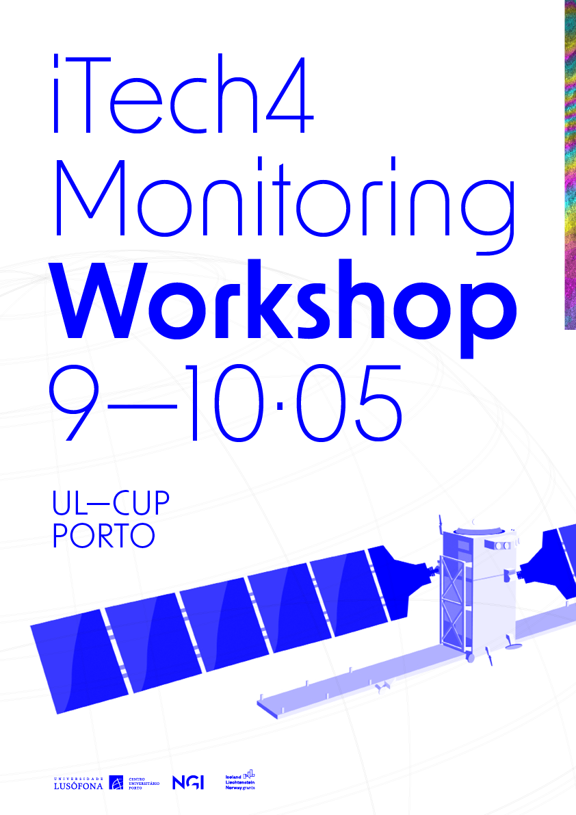
iTech4Monitoring promotes workshop | May 2023
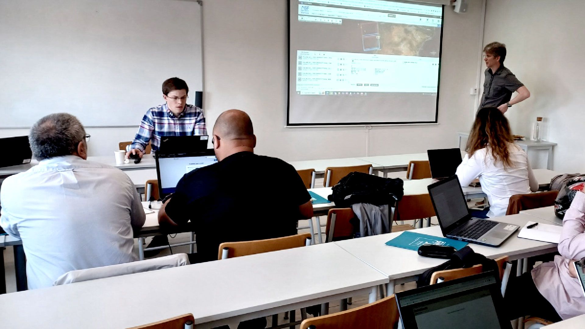
A workshop focused on the themes of the initiative, took place on 9 and 10 May at the University Centre of Porto of Lusófona University.
Events
Workshop 9—10 May
Programme
9th May (Day 1)
9.30 – 12.30 // 14.00 – 17.00 Dr. Sean Salazar and Dr. Malte Vöge (NGI)- Remote Sensing in Civil Engineering Applications
- Introduction to Interferometric SAR Principles and Theory
- Practical exercises using open-source tools (part 1)
- InSAR for Geohazards and Megaproject Monitoring
- Overview of the European Ground Motion Service (EGMS)
10th May (Day 2)
9.30 – 12.30 // 14.00 – 17.00 Dr. Sean Salazar and Dr. Malte Vöge (NGI) Professor Nuno Correia dos Santos and Francisco Teixeira (UL)- Recap of Short Course Day 1
- Practical exercises using open-source tools (part 2)
- Introduction to UAV Remote Sensing and 3D Modelling
- UAV Surveying for Geohazards Monitoring
- Summary iTech4Monitoring
- Home



Lisboa
Avenida do Campo Grande,
376 1749-024 Lisboa, Portugal
Tel.: 217 515 500 | email: info@ulusofona.ptPorto
Rua Augusto Rosa,
Nº 24, 4000-098 Porto - Portugal
Tel.: 222 073 230 | email: info@ulusofona.pt
Avenida do Campo Grande,
376 1749-024 Lisboa, Portugal
Tel.: 217 515 500 | email: info@ulusofona.ptPorto
Rua Augusto Rosa,
Nº 24, 4000-098 Porto - Portugal
Tel.: 222 073 230 | email: info@ulusofona.pt
Produção Multimédia © 2023 COFAC.
